Queensland Parks and Wildlife Service, Conway Range, Mt Rooper & Coral Beach Trails, Whitsunday Region
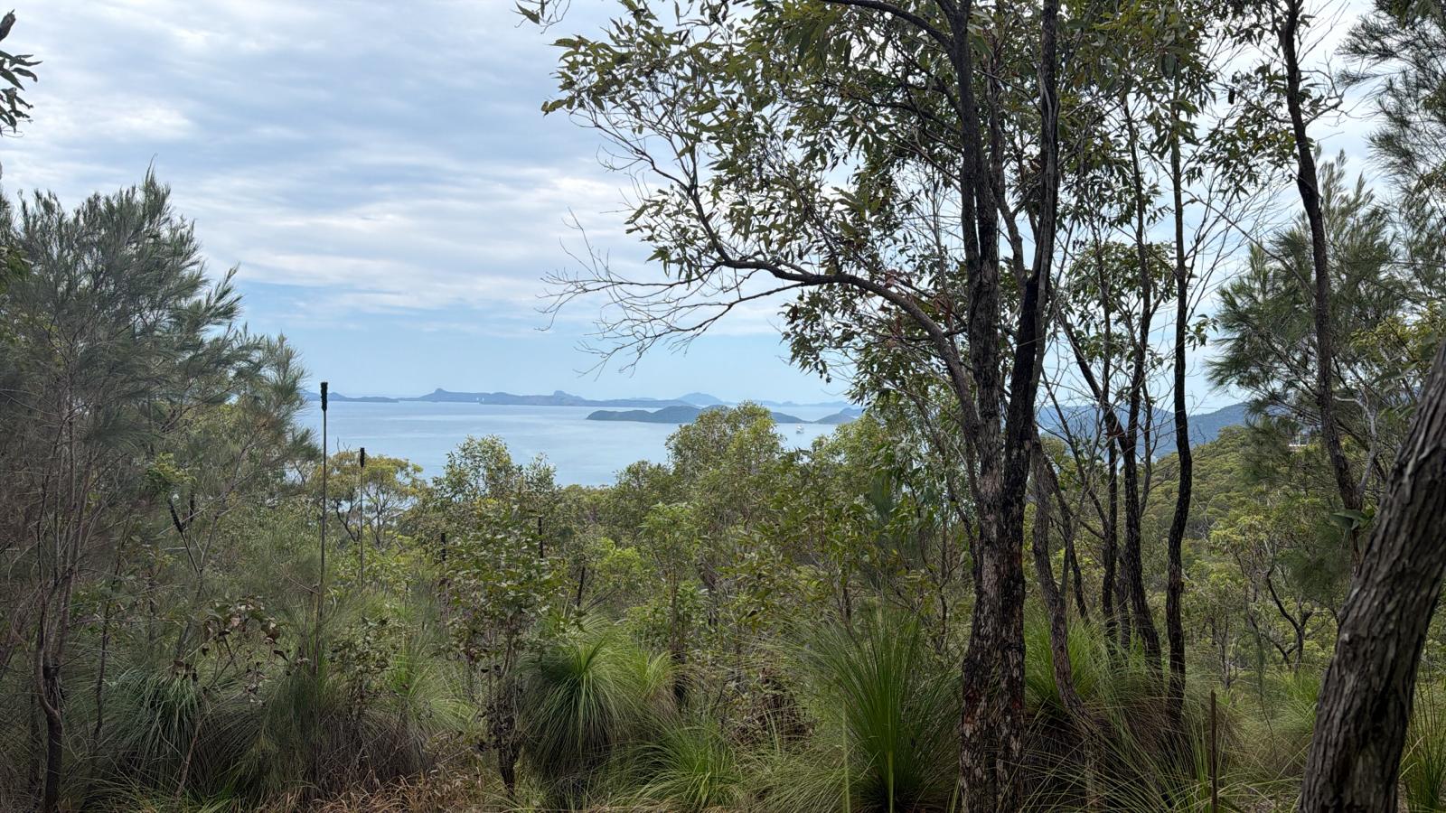
The Whitsunday regional trail networks sit within one of Queensland’s most visited and visually spectacular natural landscapes. Every year, tens of thousands of visitors come to the Whitsunday Region
Years of use, weather events, and the inherent challenges of managing trails across steep, biodiverse terrain had left the network with compounding maintenance issues, unclear use designations, and no baseline to support funding or forward planning. QPWS knew the network needed attention. What they didn’t yet have was the data to act with confidence.
Queensland Parks and Wildlife Service engaged Blue Sky Trails to undertake a comprehensive audit of approximately 33 kilometres of trails across the Conway Range, Mt Rooper, and Coral Beach networks and to translate that fieldwork into a clear prioritised recommendations with costed scope of works ready to go straight to market.
What We Delivered
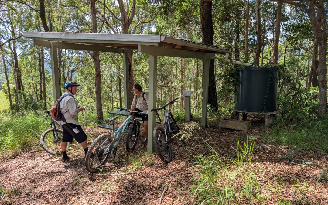
1. Structured Field Audits Across 33km of Walking and Shared-Use Trails
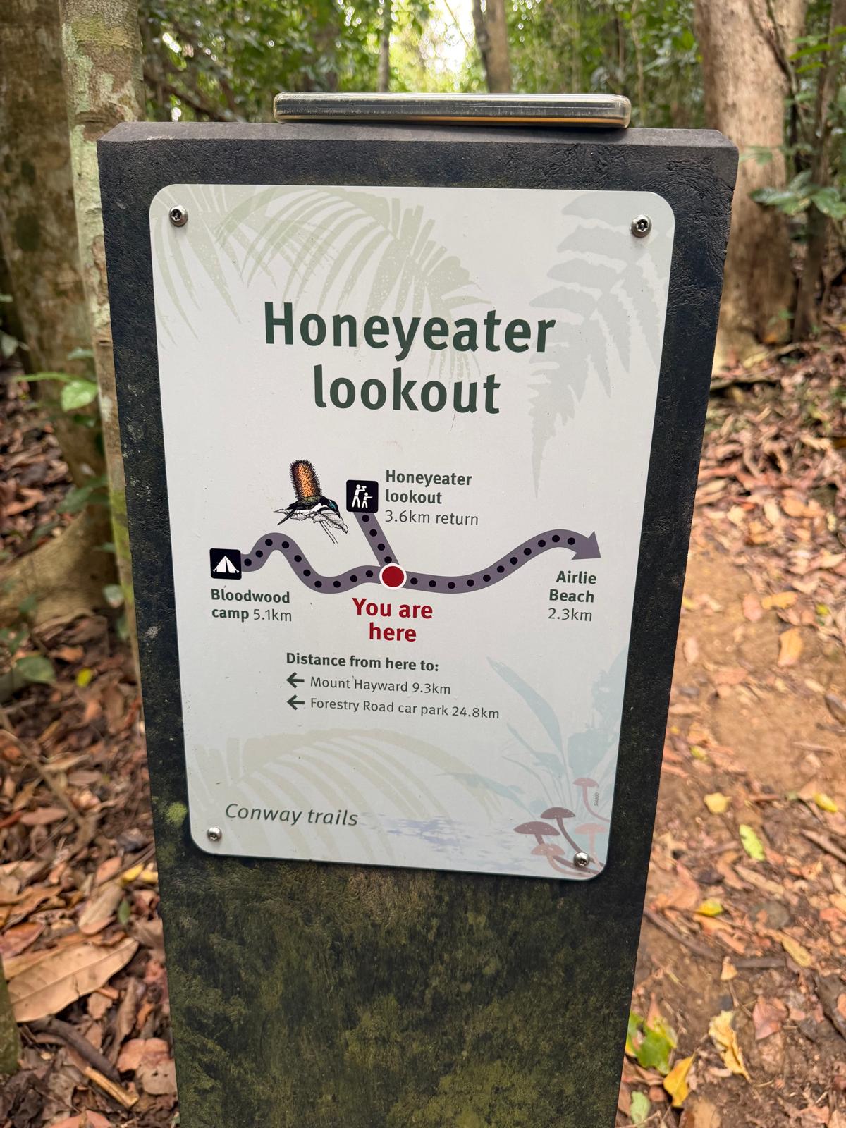
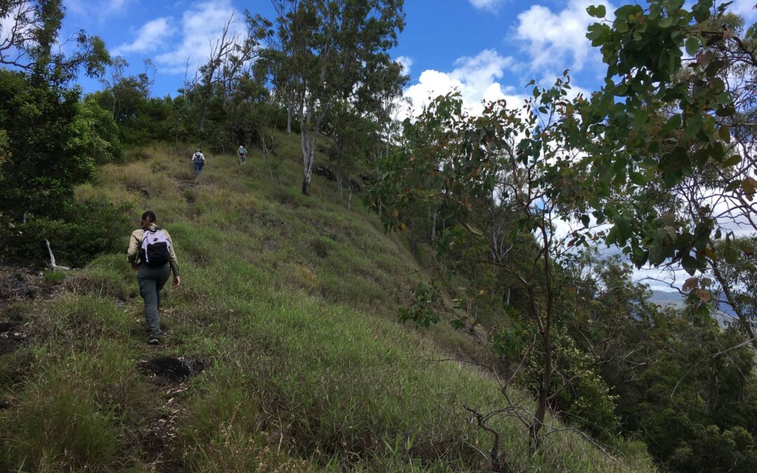
Our team conducted on-ground audits by foot and e-bike across the full network, assessing surface condition, alignment, gradient, drainage, vegetation, signage, and supporting infrastructure including trailheads, bridges, and campgrounds. Every issue was georeferenced, with linked photographs, and assigned a severity and urgency rating. This built a complete, defensible picture of the network’s condition and risks.
2. GIS Mapping Compatible with QPWS Systems
All audit data was captured and delivered as GIS shapefiles compatible with QPWS asset management systems. The network now exists as a live, query able dataset, not a static report. Rangers and managers can interrogate condition data, filter by priority, and track changes over time.
3. Trail Condition and Maintenance Priority Matrix
Using Trail Vision, we developed a structured Condition and Maintenance Priority Matrix, a clear, visual tool that ranks every issue by severity, urgency, and estimated cost. A complex field dataset, turned into something decision-makers could act on immediately.
4. Costed Repair and Maintenance Scope of Works
We prepared a prioritised Scope of Works ready for use in a Request for Quote package. Each item includes recommended actions, design notes, priority classification, and indicative cost estimates covering materials, labour, and equipment. QPWS could go directly to contractors — no additional scoping, estimating, or translation work required.
5. Trail Use Classification Recommendations
Through consultation with QPWS, we clarified and documented trail use designations across the network, walking versus shared-use, providing a clear basis for signage, communications, and future management decisions.
The Outcomes
The value of this work was never just in the documents delivered. It was in what those documents unlocked.
- Funding secured: QPWS used the audit findings, priority matrix, and costed scope to make the case clearly and credibly to decision-makers. Budget was approved for trail repairs.
- Repairs contracted and underway: the Scope of Works went directly to market. Contractors were engaged and works are now progressing across the network.
- A platform for ongoing management: the georeferenced data and condition baseline now underpin planned maintenance rather than reactive responses.
Why This Project Matters
This project is an example of how the right data, gathered rigorously and communicated effectively, creates a pathway from problem to solution. QPWS didn’t just receive a report. They received the evidence to make the case for investment, the tools to direct that investment wisely, and a baseline to manage the network sustainably from here.
It’s also a reminder that trail management extends well beyond mountain bike networks. Walking trails, shared-use corridors, multi-use networks face the same challenges of ageing infrastructure, environmental pressure, and constrained public budgets. The same structured, data-led approach applies equally to all of them.
The Whitsunday trails connect visitors to one of Queensland’s most spectacular coastal and rainforest landscapes. Getting them right matters for the people who walk them, the rangers who manage them, and the environment they pass through.